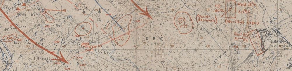
The Field Maps of Colonel Roland T. Fenton
Verdun, France
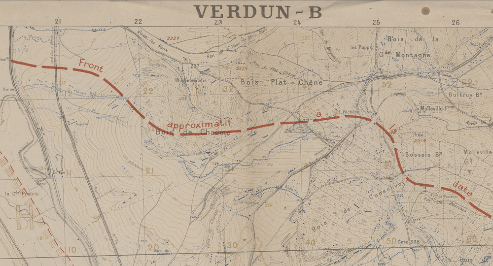
Particularly striking about Col. Fenton's map collection, he was stationed in and near Verdun during both World Wars. It makes one wonder how it felt to visit the same region in two very different roles and combat situations. Had the area changed as much as warfare and cartography?
Colonel Fenton's maps of Verdun
The maps of Verdun, France below illustrate how much war mapping had changed in the 21 years between wars. During World War I, data collection and printing innovations helped cartographers create the more refined and detailed topographic maps used in World War II.
1 / 5