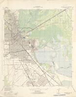
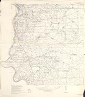
1. Beaumont East quadrangle mapped by the Tennesse Valley Authority. Source Collection: Texas Historical Topographic Maps Creator / Contributor: Tennessee Valley Authority. (cartographer) Date Created/Date Issued: 1946 Owning Repository: Perry-Castañeda Library Maps, University of Texas Libraries, The University of Texas at Austin Type: maps, cartographic, and Topographic maps
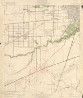
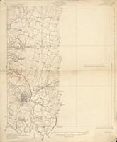
2. Texas (Harris county) Bellaire quadrangle Dept. of the Interior, U.S. Geological Survey. Source Collection: Texas Historical Topographic Maps Creator / Contributor: Geological Survey (U.S.) (cartographer) Date Created/Date Issued: 1921 Owning Repository: Perry-Castañeda Library Maps, University of Texas Libraries, The University of Texas at Austin Type: maps, cartographic, and Topographic maps
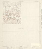
3. Texas (Archer County) Archer City quadrangle Dept. of the Interior, U.S. Geological Survey. Source Collection: Texas Historical Topographic Maps Creator / Contributor: Geological Survey (U.S.) (cartographer) Date Created/Date Issued: 1931 Owning Repository: Perry-Castañeda Library Maps, University of Texas Libraries, The University of Texas at Austin Type: maps, cartographic, and Topographic maps
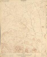
4. Texas (Brewster County) Agua Fria quadrangle U.S. Geological Survey. Source Collection: Texas Historical Topographic Maps Creator / Contributor: Geological Survey (U.S.) (cartographer) Date Created/Date Issued: 1917 Owning Repository: Perry-Castañeda Library Maps, University of Texas Libraries, The University of Texas at Austin Type: maps, cartographic, and Topographic maps
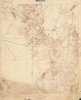
5. Texas Alpine sheet Dept. of the Interior, U.S. Geological Survey. Source Collection: Texas Historical Topographic Maps Creator / Contributor: Geological Survey (U.S.) (cartographer) Date Created/Date Issued: 1916 Owning Repository: Perry-Castañeda Library Maps, University of Texas Libraries, The University of Texas at Austin Type: maps, cartographic, and Topographic maps
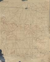
6. Texas Albany sheet U.S. Geological Survey. Source Collection: Texas Historical Topographic Maps Creator / Contributor: Geological Survey (U.S.) (cartographer) Date Created/Date Issued: 1916 Owning Repository: Perry-Castañeda Library Maps, University of Texas Libraries, The University of Texas at Austin Type: maps, cartographic, and Topographic maps
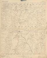
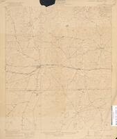
7. Texas Abilene sheet U.S. Geological Survey. Source Collection: Texas Historical Topographic Maps Creator / Contributor: Geological Survey (U.S.) (cartographer) Date Created/Date Issued: 1916 Owning Repository: Perry-Castañeda Library Maps, University of Texas Libraries, The University of Texas at Austin Type: maps, cartographic, and Topographic maps
8. Texas (Harris County) Addicks quadrangle U.S. Geological Survey. Source Collection: Texas Historical Topographic Maps Creator / Contributor: Geological Survey (U.S.) (cartographer) Date Created/Date Issued: 1918 Owning Repository: Perry-Castañeda Library Maps, University of Texas Libraries, The University of Texas at Austin Type: maps, cartographic, and Topographic maps
9. Texas Becerra Creek quadrangle : grid zone \D\ Corps of Engineers, U.S. Army. Source Collection: Texas Historical Topographic Maps Creator / Contributor: United States. Army. Corps of Engineers. (cartographer) Date Created/Date Issued: 1942 Owning Repository: Perry-Castañeda Library Maps, University of Texas Libraries, The University of Texas at Austin Type: maps, cartographic, and Topographic maps
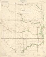
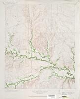
10. Texas Beaver Creek quadrangle United States Dept. of the Interior, Geological Survey. Source Collection: Texas Historical Topographic Maps Creator / Contributor: Geological Survey (U.S.) (cartographer) Date Created/Date Issued: 1920 Owning Repository: Perry-Castañeda Library Maps, University of Texas Libraries, The University of Texas at Austin Type: maps, cartographic, and Topographic maps
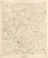
11. Texas Bastrop quadrangle Dept. of the Interior, U.S. Geological Survey. Source Collection: Texas Historical Topographic Maps Creator / Contributor: Geological Survey (U.S.) (cartographer) Date Created/Date Issued: 1929 Owning Repository: Perry-Castañeda Library Maps, University of Texas Libraries, The University of Texas at Austin Type: maps, cartographic, and Topographic maps
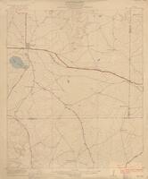
12. Texas Big Lake quadrangle Dept. of the Interior, U.S. Geological Survey. Source Collection: Texas Historical Topographic Maps Creator / Contributor: Geological Survey (U.S.) (cartographer) Date Created/Date Issued: 1922 Owning Repository: Perry-Castañeda Library Maps, University of Texas Libraries, The University of Texas at Austin Type: maps, cartographic, and Topographic maps
13. Texas Barnhart quadrangle Dept. of the Interior, U.S. Geological Survey. Source Collection: Texas Historical Topographic Maps Creator / Contributor: Geological Survey (U.S.) (cartographer) Date Created/Date Issued: 1922 Owning Repository: Perry-Castañeda Library Maps, University of Texas Libraries, The University of Texas at Austin Type: maps, cartographic, and Topographic maps
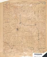
14. Texas (Bell County) Belton quadrangle Dept. of the Interior, U.S. Geological Survey. Source Collection: Texas Historical Topographic Maps Creator / Contributor: Geological Survey (U.S.) (cartographer) Date Created/Date Issued: 1931 Owning Repository: Perry-Castañeda Library Maps, University of Texas Libraries, The University of Texas at Austin Type: maps, cartographic, and Topographic maps
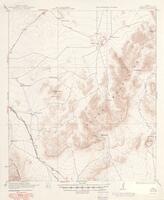
15. Texas (Brewster County) Altuda quadrangle Dept. of the Interior, U.S. Geological Survey. Source Collection: Texas Historical Topographic Maps Creator / Contributor: Geological Survey (U.S.) (cartographer) Date Created/Date Issued: 1949 Owning Repository: Perry-Castañeda Library Maps, University of Texas Libraries, The University of Texas at Austin Type: maps, cartographic, and Topographic maps
16. Texas--Arkansas--Louisiana Atlanta quadrangle U.S. Geological Survey. Source Collection: Texas Historical Topographic Maps Creator / Contributor: Geological Survey (U.S.) (cartographer) Date Created/Date Issued: 1910 Owning Repository: Perry-Castañeda Library Maps, University of Texas Libraries, The University of Texas at Austin Type: maps, cartographic, and Topographic maps
17. Texas Bend quadrangle Dept. of the Interior, U.S. Geological Survey. Source Collection: Texas Historical Topographic Maps Creator / Contributor: Geological Survey (U.S.) (cartographer) Date Created/Date Issued: 1931 Owning Repository: Perry-Castañeda Library Maps, University of Texas Libraries, The University of Texas at Austin Type: maps, cartographic, and Topographic maps
18. Texas (Stonewall County) Aspermont quadrangle Dept. of the Interior, U.S. Geological Survey. Source Collection: Texas Historical Topographic Maps Creator / Contributor: Geological Survey (U.S.) (cartographer) Date Created/Date Issued: 1931 Owning Repository: Perry-Castañeda Library Maps, University of Texas Libraries, The University of Texas at Austin Type: maps, cartographic, and Topographic maps
19. Texas (Harris County) Almeda quadrangle Dept. of the Interior, U.S. Geological Survey. Source Collection: Texas Historical Topographic Maps Creator / Contributor: Geological Survey (U.S.) (cartographer) Date Created/Date Issued: 1920 Owning Repository: Perry-Castañeda Library Maps, University of Texas Libraries, The University of Texas at Austin Type: maps, cartographic, and Topographic maps
20. Texas (Harris County) Aldine quadrangle U.S. Geological Survey. Source Collection: Texas Historical Topographic Maps Creator / Contributor: Geological Survey (U.S.) (cartographer) Date Created/Date Issued: 1937 Owning Repository: Perry-Castañeda Library Maps, University of Texas Libraries, The University of Texas at Austin Type: maps, cartographic, and Topographic maps